Contents(8)
- DEMA Show 2026: Insta360 and PADI Write 360 Shooting into the Dive Curriculum
- What 360 Cameras Change: From Choosing an Angle to Recording an Entire Space
- Why Marine Surveys Need More Imagery
- What Kinds of Survey Data Can 360 Imagery Fill In
- From Recreational Shooting to Research Methodology: What Pieces Are Still Missing
- Limitations of 360 Imagery for Survey Purposes
- Practical Information: How Divers Who Want to Get Involved Can Get Started
- Closing Thoughts: Let Every Tank Leave More Behind
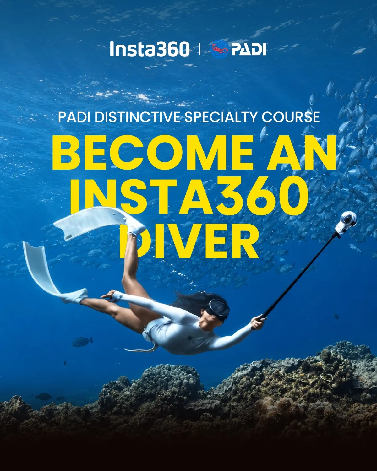
Insta360 underwater photography reached a new milestone at DEMA Show 2026. The imaging brand known for its 360 cameras announced a partnership with the Professional Association of Diving Instructors (PADI) at the diving industry trade show held in New Orleans, USA, launching the "Insta360 X Series Diver PADI Distinctive Specialty", officially bringing 360 underwater imaging into the diver training framework.
Most of the diving community received this news as a gear story. The Editor's attention, however, was elsewhere. Over the past few years, BlueTrend has been promoting marine citizen science, and the most persistent bottleneck we encounter is a shortage of survey personnel: the rate at which data accumulates simply cannot keep pace with the rate at which the ocean changes. When more and more recreational divers bring a camera capable of recording a full 360-degree environment on every dive, and a formal course now exists to teach them how to shoot properly, those images stand a genuine chance of becoming a source of data for marine surveys.
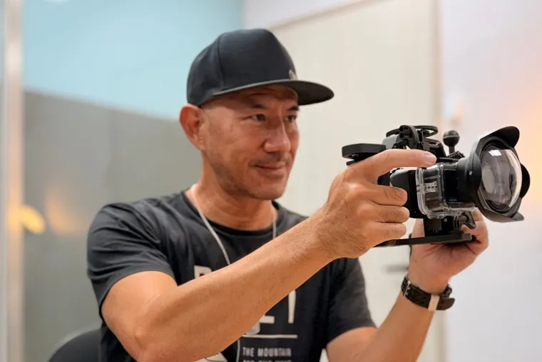
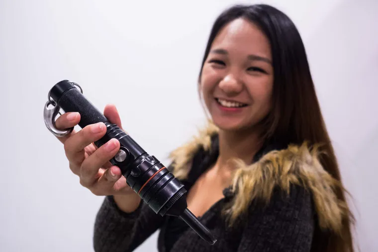
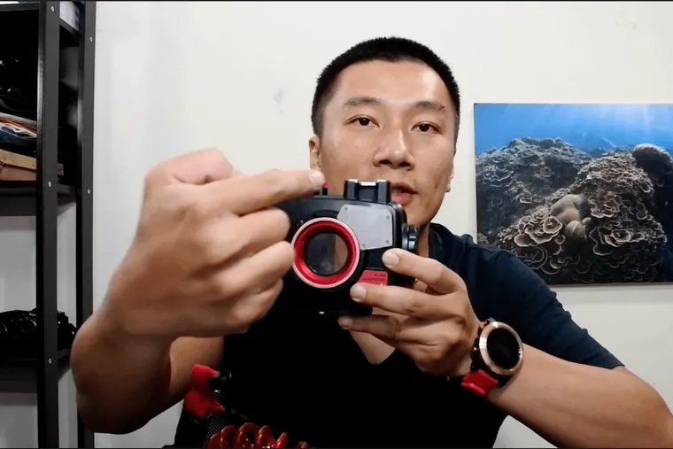
Drawing on on-site photos provided by Insta360, this article will share what DEMA Show looked like on the ground and briefly explain the course and equipment announced there, then shift focus to our own thinking: what kinds of survey data can 360 imagery fill in, and what pieces are still missing between casual shooting and a usable research methodology?
DEMA Show 2026: Insta360 and PADI Write 360 Shooting into the Dive Curriculum
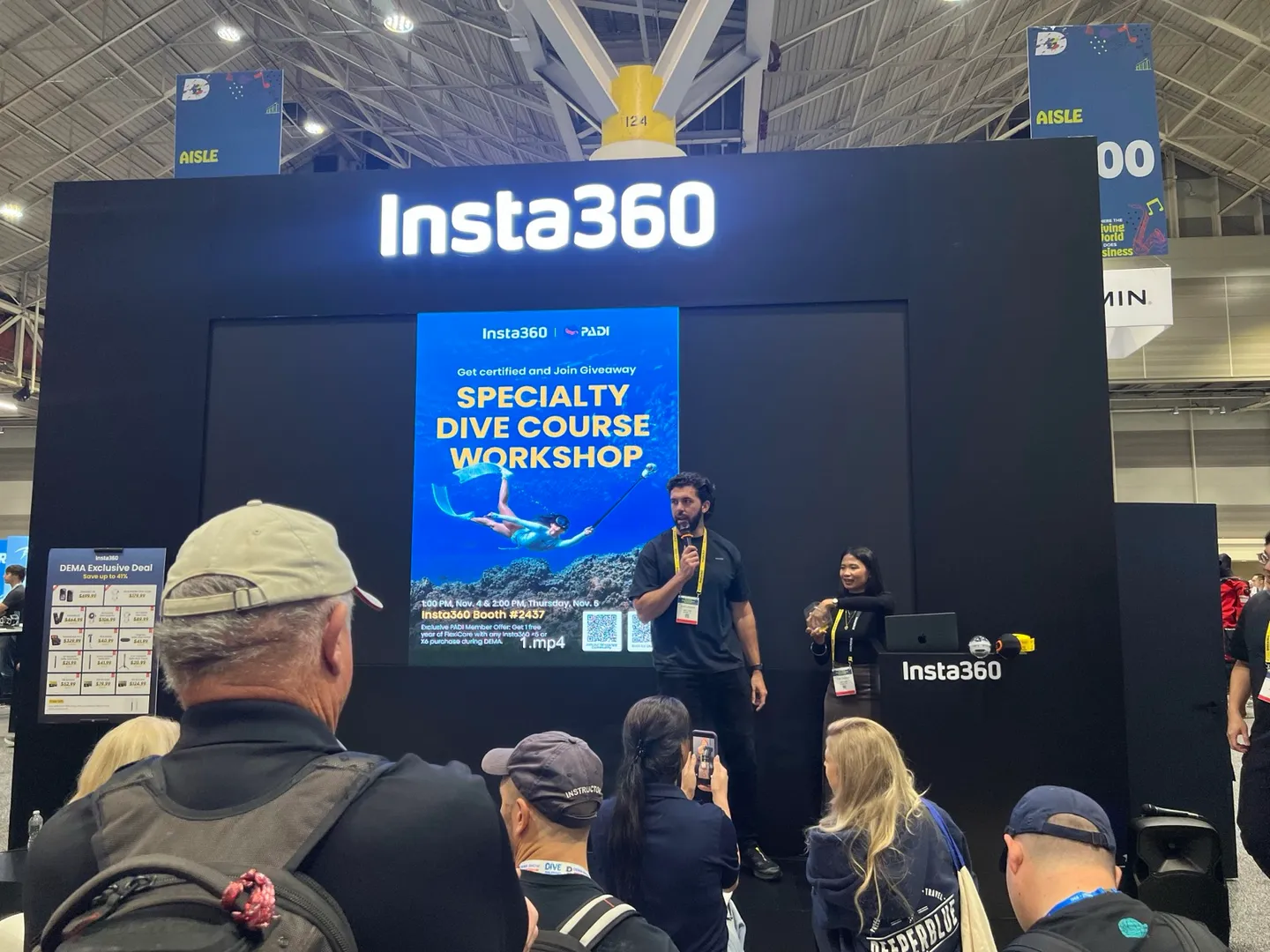
DEMA Show is the annual diving industry trade show organised by the Diving Equipment & Marketing Association (DEMA). The 2026 edition runs from 3 to 6 November in New Orleans, Louisiana, USA. Dive brands, certification agencies, and travel operators typically use this platform to announce new partnerships and products, and this year also marks PADI's 60th anniversary.
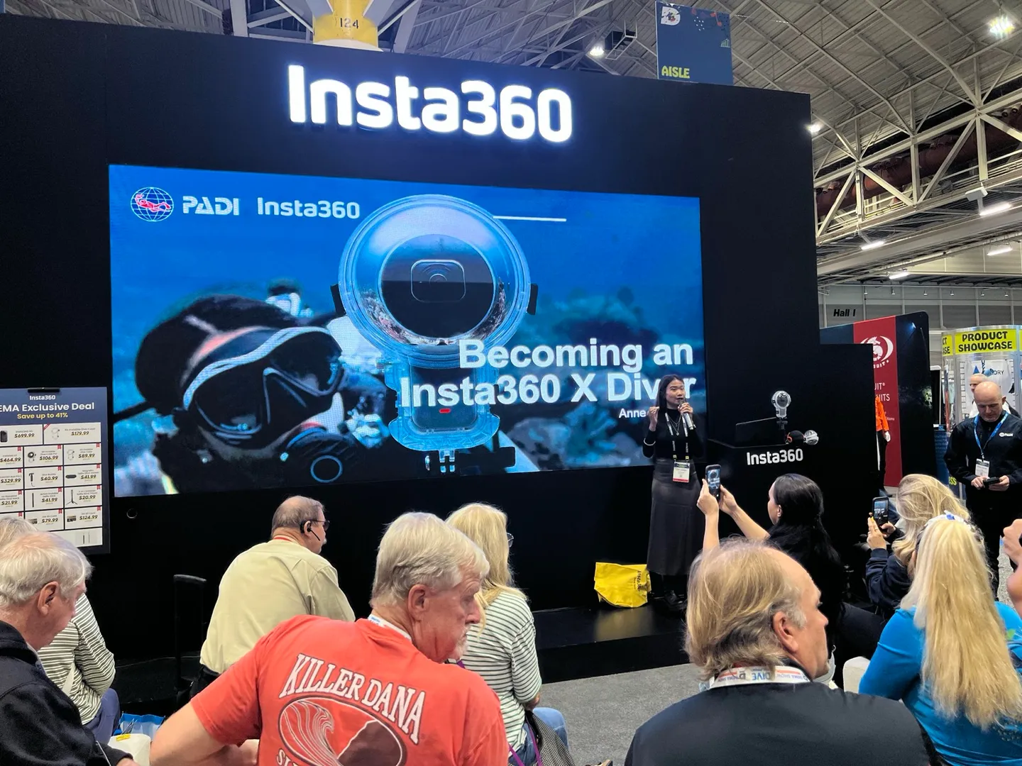
The course Insta360 and PADI have launched together is a PADI Distinctive Specialty: a specialty programme co-developed by a partner organisation and PADI, reviewed and approved by PADI before being made available for instruction. Instructors must first complete dedicated training and assessment before offering the course at a PADI dive shop; certified divers can then enrol, earning their certification after completing knowledge development, open-water training dives, and post-production practice.
Four Course Modules and Safe Camera Handling
The curriculum is divided into four modules that follow the shooting workflow (Prepare, Capture, Create, and Share), covering everything from pre-dive camera setup and equipment checks to underwater shooting techniques, and then to reframing and editing back on the surface. One element the Editor found particularly noteworthy: underwater safe camera handling and responsible shooting practices. The press release also states that the course aims to promote marine conservation alongside teaching photography.
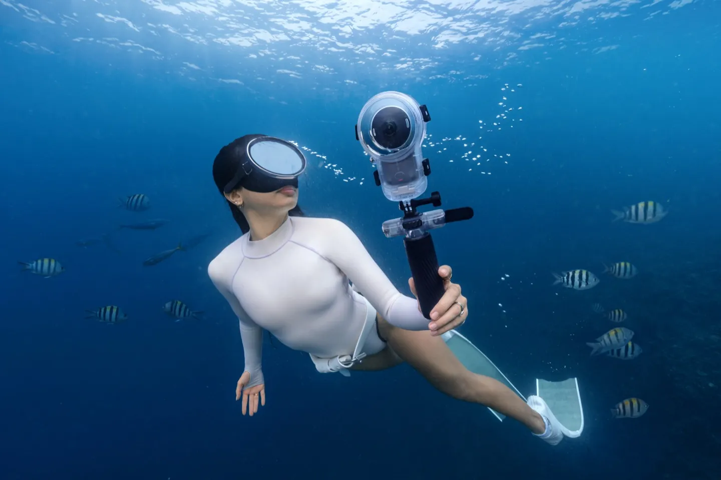
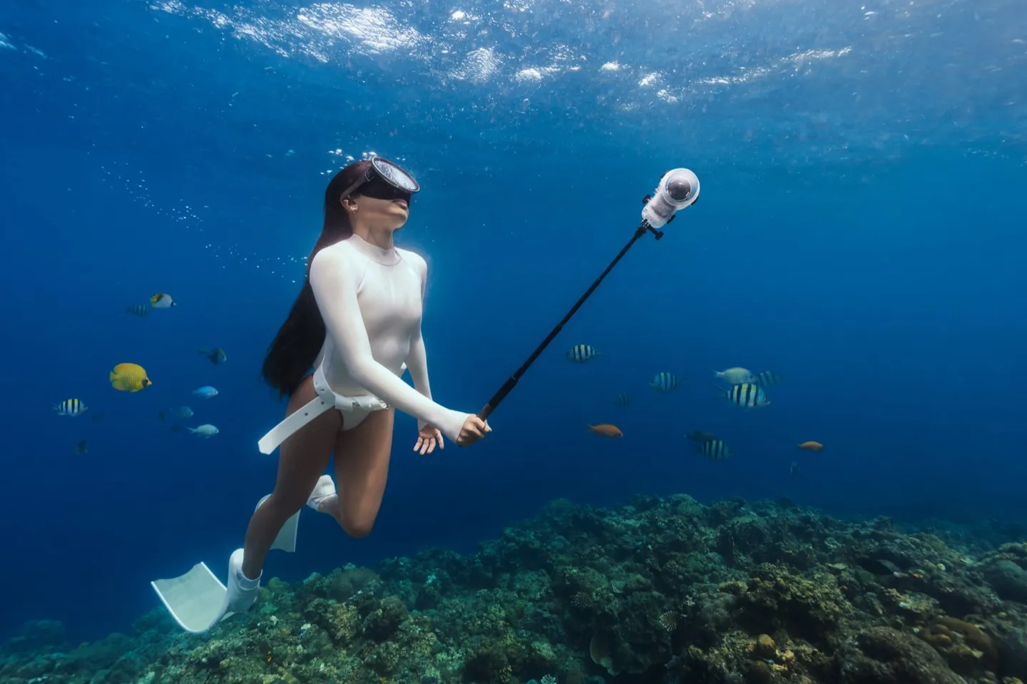
This matters because the more people bring cameras underwater, the more common it becomes to see divers neglecting neutral buoyancy while focused on a shot, elbows brushing coral, or selfie sticks sweeping across a reef. A 360 camera is typically paired with a long pole to achieve a third-person perspective, with the end of the pole some distance from the diver's body, making spatial awareness of the surrounding environment all the more important to practise. Embedding this responsibility into a formal curriculum offers more practical protection for dive sites than any awareness campaign.


What 360 Cameras Change: From Choosing an Angle to Recording an Entire Space
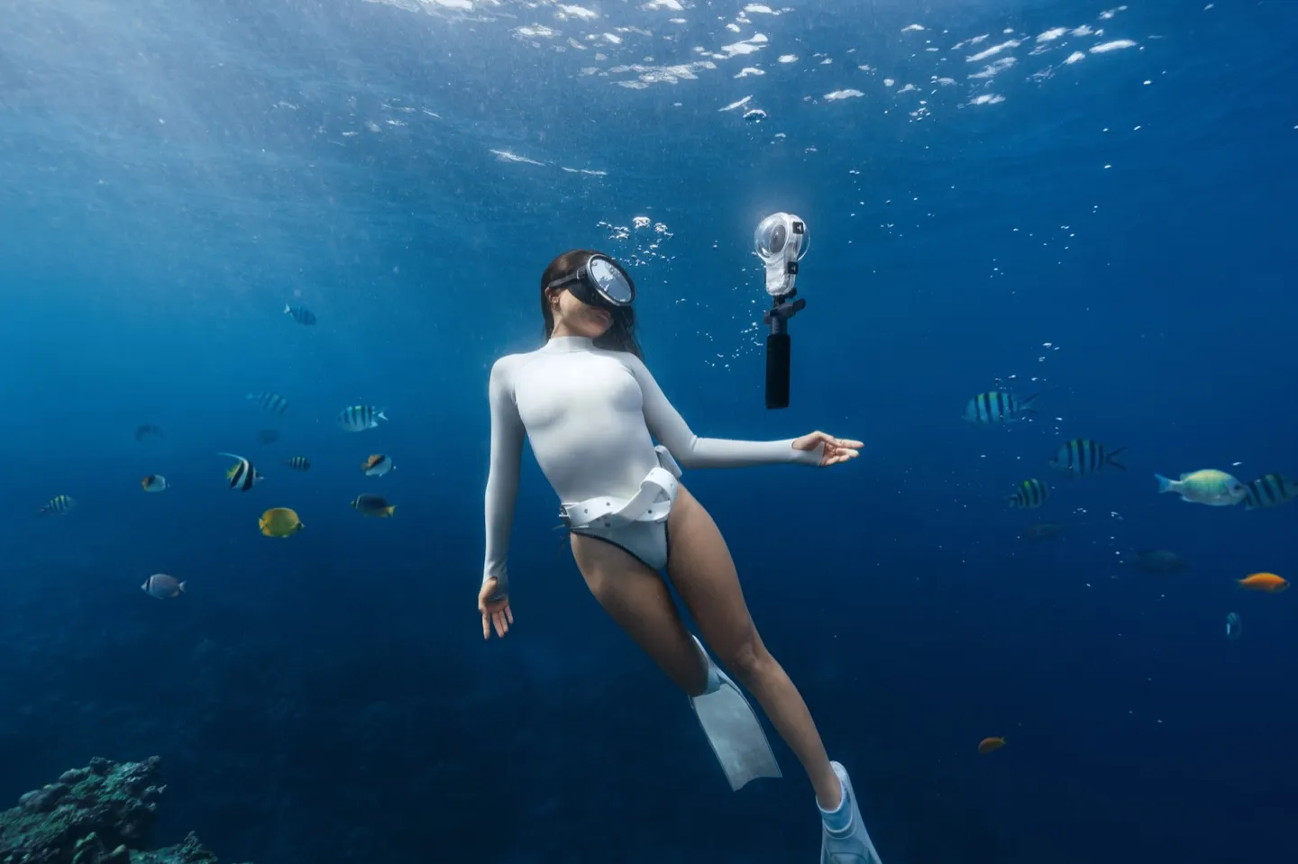
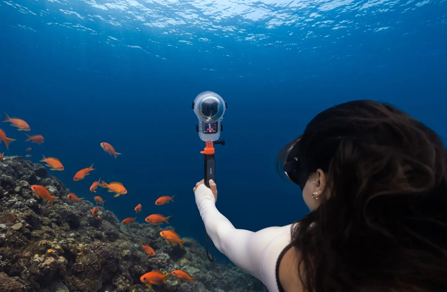
When shooting underwater video with a conventional camera, the diver must first decide where to point it. While you're filming the sea turtle in front of you, the school of fish passing behind you, the surface light above, and the substrate condition below all stay out of frame. That is precisely what a 360 camera changes: it records the entire space in every direction simultaneously, leaving framing as a post-production task.
The X6 dive kit showcased at the show records 360 footage at 8K 50fps; the accompanying dive housing is rated to 60 metres and weighs approximately 225.8 g without the camera. For citizen science purposes, the specification numbers matter less than the drop in barrier to entry: compact body, simple operation, no need to aim. That means ordinary recreational divers can casually document a dive during a regular outing, without having to schedule a dedicated survey dive.
Why Marine Surveys Need More Imagery
Traditional coral reef surveys require trained divers to lay out transect lines and record substrate types and species section by section. A single survey can take several dives and still cover only a small stretch of reef. Such surveys are highly accurate, but the labour and time costs are equally high; most dive sites are fortunate if they are surveyed even once a year.
At the same time, the number of recreational divers entering the water around the world every day is enormous. The sites they visit, the scenes they witness: most of it ends up as a short clip on social media, never entering any database. Marine citizen science aims to solve exactly this problem: turning dispersed, individual observations into data that researchers can actually use.
In our article When Citizen Science Meets AI, we discussed how AI excels at organising large volumes of seemingly scattered images into meaningful information, and that the single biggest gap right now is a stable, consistently formatted data source. If 360 imagery can be captured according to basic protocols from the moment of shooting, it is well positioned to fill that gap.
What Kinds of Survey Data Can 360 Imagery Fill In
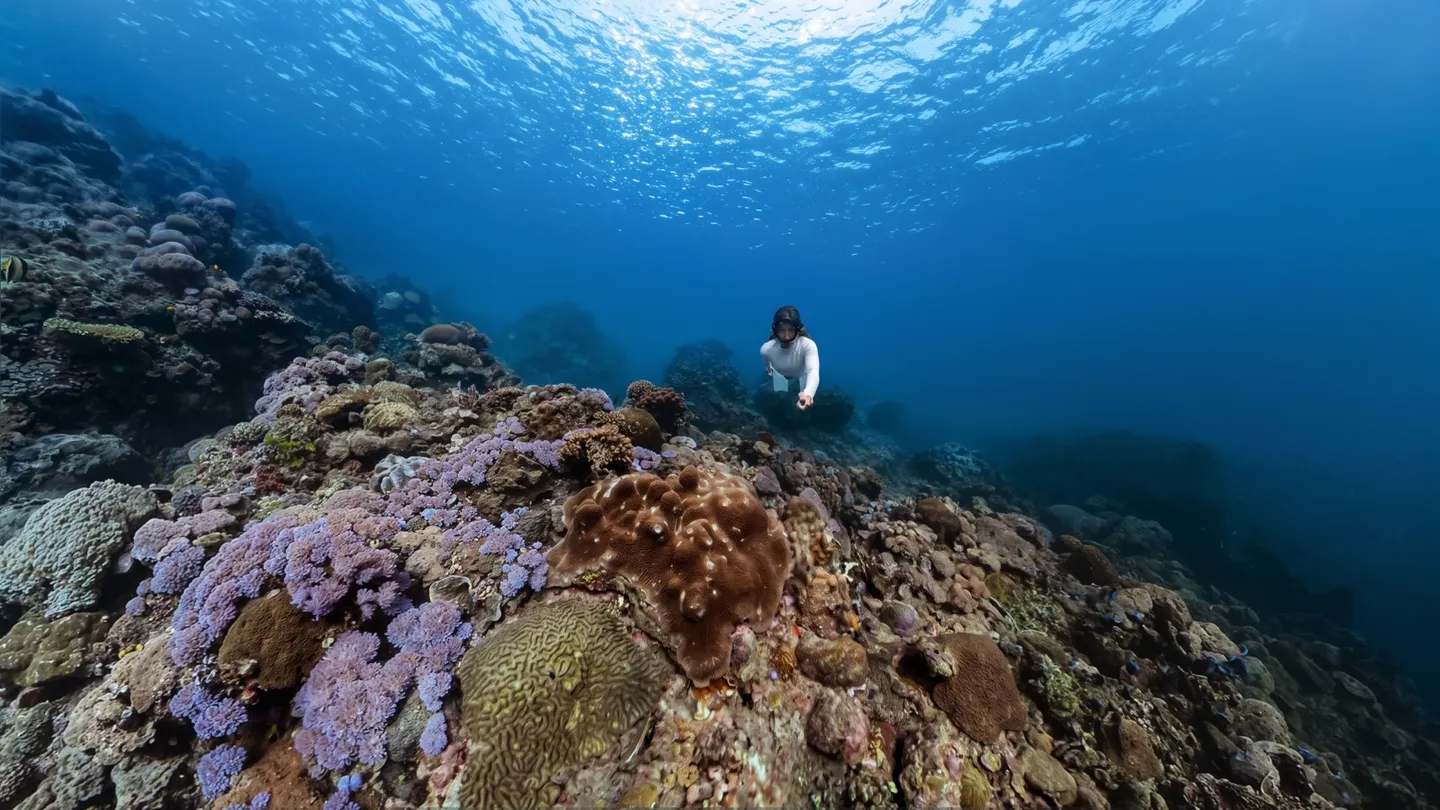
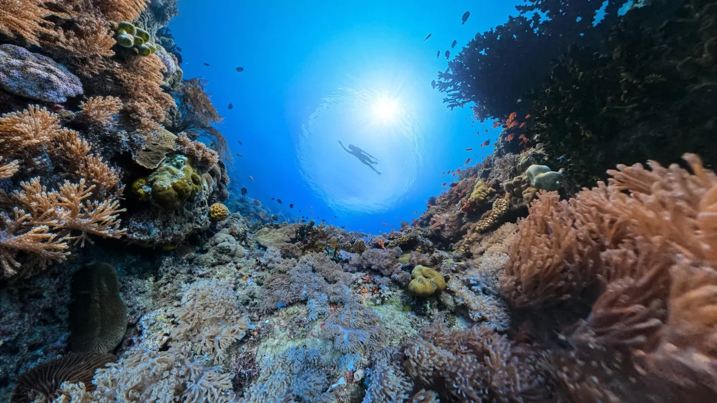
A conventional photo records only the organism the photographer chose to point at. A 360 image preserves the surrounding environment at the same time. That difference may seem like a matter of field of view, but for survey purposes it represents a fundamentally different type of data: the former is a presence record for a single species; the latter is a snapshot of an entire habitat at a specific moment in time.
One Frame, an Entire Habitat
A single 360 image can simultaneously capture whether the substrate is sand or reef rock, the approximate proportion of coral cover, signs of bleaching or algal increase, the species composition and abundance of fish, and the ambient water colour and visibility. This contextual information previously required survey teams to fill out separate forms; now it may require nothing more than pressing the record button.
More importantly, researchers can revisit the footage afterwards. Corners that no one noticed at the time of filming, species that had not yet been designated as survey targets: all of it is preserved in the file. When a new research question arises in the future, these images can be re-analysed rather than being limited to answering only the questions that were set at the time of filming.
Repeated Shooting at the Same Site Reveals Change Over Time
The most valuable data in coral reef monitoring often comes from long-term records at the same location. If dive shops and instructors regularly record a 360 clip at a fixed position within a consistent dive site, a time series accumulates over the years, and the changes wrought by typhoons, marine heatwaves, or human disturbance become visible through before-and-after comparisons. This kind of repeat-survey approach is ideally suited to local dive shops that operate in the same patch of ocean over the long term.
From Recreational Shooting to Research Methodology: What Pieces Are Still Missing
Having the equipment and a shooting course does not mean imagery automatically becomes research data. The Editor believes that bridging the gap between casual shooting and a usable research methodology requires clearly defining three things: how to shoot, how to log, and who receives the data.
Lessons from the Penghu Coral Monitoring Project
This year, in our coral growth form monitoring project conducted at Hang Bay, Penghu, we had recreational divers use a small ruler as a scale reference to photograph each target coral from three distances (far, medium, and close) and record its growth form. A single dive was enough to complete one usable data record. This workflow demonstrated one thing clearly: given clear rules and simple tools, divers without a research background can produce scientific data.
If a segment of 360 footage were added to this workflow, researchers would gain not just information about the target coral itself, but also about its surrounding environment. The three close-up photos handle growth-form identification; the 360 image handles habitat context. The two data types complement each other perfectly.
Three Conditions Needed to Build a Research Methodology
- Standardised shooting protocols: for example, hovering at a designated position for 30 seconds while recording, keeping the camera at a fixed height, and including a scale reference in frame. The absence of a scale reference in 360 imagery is currently one of its greatest limitations for survey use. A consistent approach is what allows footage shot by different people at different times to be meaningfully compared.
- Complete metadata: time of shooting, location, depth, and water temperature are the baseline fields for scientific data. If the camera and its companion app can retain this information on export and allow users to add a dive site name, the usability of the data improves enormously.
- A clear data pipeline: for imagery to flow from a diver's hard drive to a research institution or a local biodiversity database, a simple upload pathway is needed, along with clearly defined licensing and terms of use.
None of these three things can be accomplished by a single brand alone. Certification agencies handle teaching and standards; equipment manufacturers provide the recording tools; research institutions design the methodology and carry out analysis; local dive shops handle long-term execution. The launch of this specialty course gives the first puzzle piece a rough shape. The Editor looks forward to the remaining pieces falling into place.
Limitations of 360 Imagery for Survey Purposes
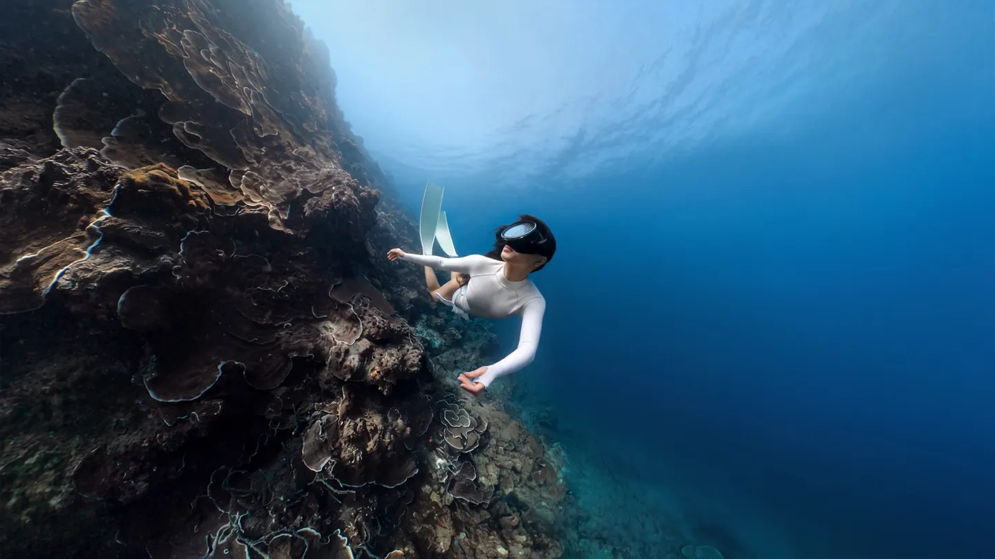
360 imagery cannot replace all survey methods, and it is important to be honest about that. In order to cover the full sphere, the resolution allocated to each direction is lower than that of a single-lens camera of equivalent quality. Identifying small organisms or subtle taxonomic features still requires close-up photography. When a spherical image is projected flat, distortion is introduced, making direct measurements of area or length inaccurate, so a scale reference and subsequent correction methods are needed.
File size is another practical challenge. An 8K 360 video file is far larger than a conventional video file; storage, uploading, and long-term archiving all carry a cost, and research institutions need corresponding processing capacity. These limitations do not mean the approach is unworkable. They simply indicate that 360 imagery is best suited to the role of "environmental documentation," working in conjunction with traditional surveys and close-up photography rather than replacing them.
Practical Information: How Divers Who Want to Get Involved Can Get Started
The 360 Underwater Photography Specialty Course
Certified divers can enrol in the Insta360 X Series Diver specialty course at a PADI dive shop that offers this specialty. As of the time of writing, the Editor has not seen any Taiwanese dive shops announce course dates. Interested divers are welcome to enquire with their regular PADI dive shop; actual course content and fees are as announced by each individual dive centre.
Citizen Science Participation You Can Start Right Now
There is no need to wait for new research methods to take shape. You can start participating in marine citizen science today. If you already dive with a camera, start by reading Lesson One for Marine Citizen Scientists: How to Shoot Identifiable Photos of Underwater Life, and learn to capture images that include the features needed for species identification. Make a habit of noting the date, dive site, and depth when you shoot. That simple practice transforms your photos from personal memories into data that researchers can use.
Closing Thoughts: Let Every Tank Leave More Behind
The Insta360 and PADI partnership gives 360 underwater photography its first formal teaching standard. For marine surveys, that represents a genuine possibility: when a shooting methodology can be taught and standardised, a data-collection methodology has a chance to grow alongside it.
The Editor looks forward to a day when divers who complete the Insta360 underwater photography specialty come away not only knowing how to cut a great-looking video, but also knowing how to make that same footage a usable record for researchers. When that day arrives, every dive will leave behind more than just a memory. BlueTrend is also glad to work with certification agencies, research institutions, and local dive shops to help connect the dots along the way.
To learn more about how to get involved in marine citizen science, join BlueTrend's official LINE account and follow our ongoing survey initiatives.
Course information and images in this article were provided by Insta360; the content was written by the BlueTrend editorial team.